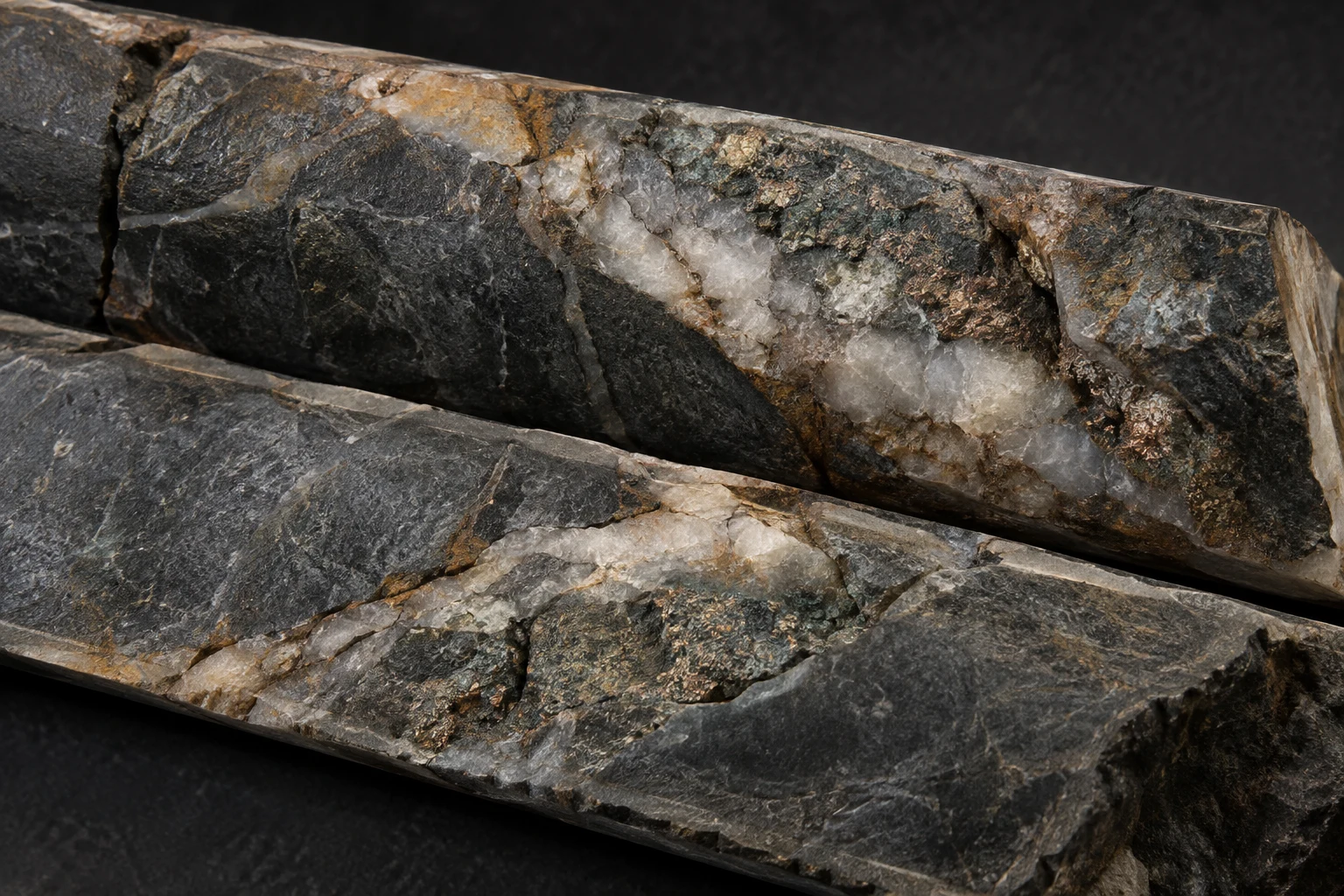
Drilling & assays
Start with what the ground has already told you.
Collars, downhole surveys, assay intervals and geological logs. Connect every result to its position, depth and surrounding rock.
 DeepMatterAI TECHNOLOGIESRequest a demo
 The evidence is there. The connections change everything.
Six data layers. One geological picture.
Bring the observations into a shared geological context.
Minerals connect the ground beneath us to the world we’re building. Discovery starts by asking more of the evidence we already have.
A new perspective on exploration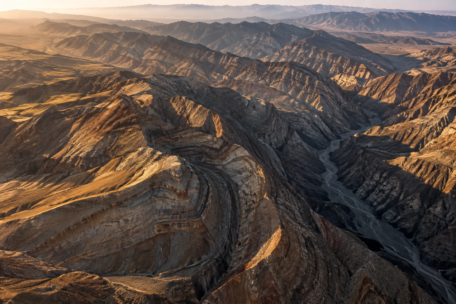
Bring drilling, surveys and historical records into one geological picture. Understand each result in the context of the evidence around it.
Collars, downhole surveys, assay intervals and geological logs. Connect every result to its position, depth and surrounding rock.
Lithology, contacts, faults and alteration help explain why mineralization occurs where it does—and where that setting may continue.
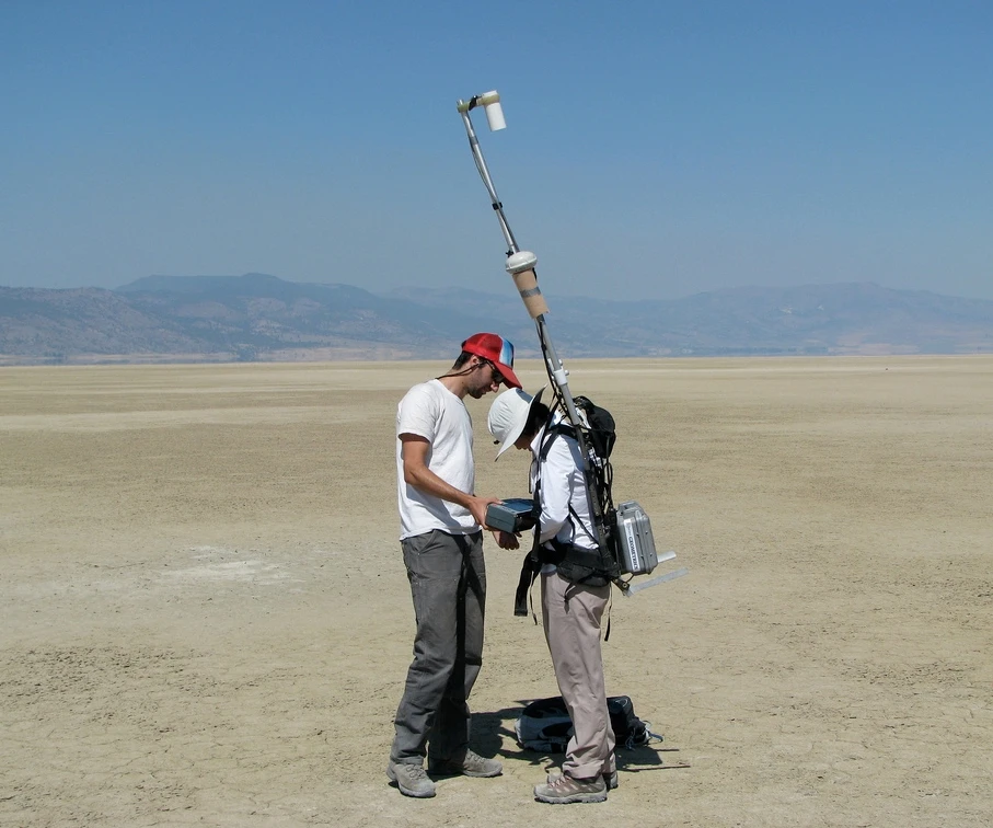
Magnetics, gravity, electromagnetic and electrical surveys add a different perspective on the structures and rock properties below the surface.
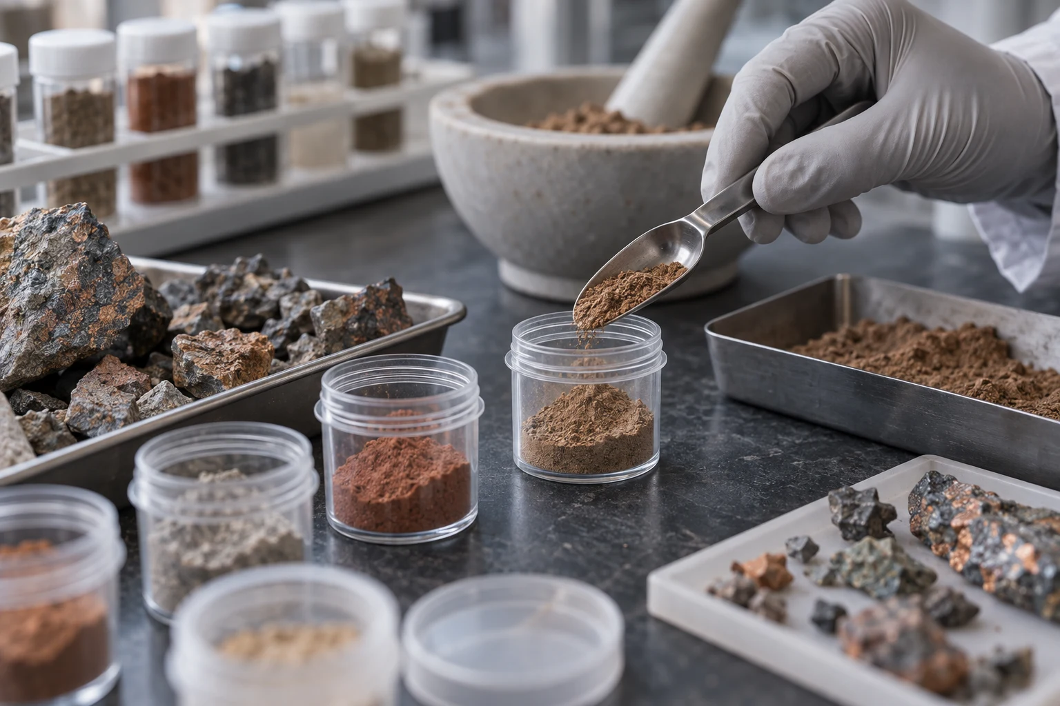
Explore mineral associations and pathfinder patterns across rock, soil and stream samples, alongside drilling and geological context.
Elevation, imagery and property-scale mapping provide a shared spatial reference for the evidence and the exploration program.
Bring earlier campaigns, technical reports, interpretations and historical mine records into the picture your team is building today.
From the original observation to the question your next drillhole will answer. Connect the evidence at every step.
Bring project records, historical work and regional context together. Keep each observation connected to its source and location.
Investigate how known intersections relate to geology and supporting signals, between holes and at depth.
Identify potential continuations, compare the evidence and define the question a new drillhole or survey should answer.
Bring the next results back into the picture. Revisit the interpretation as your understanding of the ground evolves.
An anomaly is a starting point. The real value lies in understanding how the evidence connects—and what the next test could establish.
Discuss your projectKnown mineralized intervals, located in three dimensions.
Structures and supporting data that give the pattern context.
A possible continuation for the next drillhole or survey to test.
From mature districts to untested ground, bring a broader base of evidence to the decisions that move exploration forward.
Follow the geological setting of known mineralization between holes, along strike and at depth.
NEAR-DEPOSIT EXPLORATIONReassess past results alongside new surveys, updated geology and the wider project record.
HISTORICAL & BROWNFIELD PROJECTSBring regional geology and survey evidence together to focus where the next phase of investigation begins.
DISTRICT-SCALE EXPLORATIONYour data foundation. Your predictive intelligence.
Your shared view of the project.
Project data, historical records and geological context. A structured foundation for the intelligence that follows.
Predictive intelligence built around geological evidence. Investigate patterns at depth and prioritize potential targets for further testing.
Terrain, drilling and underground models in an interactive 3D experience. Make complex projects easier to explore and understand.
Relationships between known mineralization, geological structures and supporting exploration data. The aim is to identify potential continuations and underexplored areas, with a clear geological question for the next stage of work.
Start with the datasets your technical team already uses: collars, downhole surveys, assays, lithology, geological maps, geophysics, geochemistry and historical exploration records. We’ll discuss the available coverage, source formats and project context with you.
Your team brings the geological understanding. DeepMatter adds a connected analytical and visual perspective, helping you investigate relationships and communicate why a target deserves attention. Your team owns the interpretation and the exploration decisions.
Yes. DeepMatter’s visualization technology brings terrain, properties, drill traces and underground models into an interactive project experience. Vista connects that shared perspective with the wider data and intelligence platform.
With a discussion of your ground, your evidence and the decision you need to make. Bring an overview of your project and the data you have. Together, we can frame the right exploration question.
Tell us about your ground, your data and your next exploration decision.